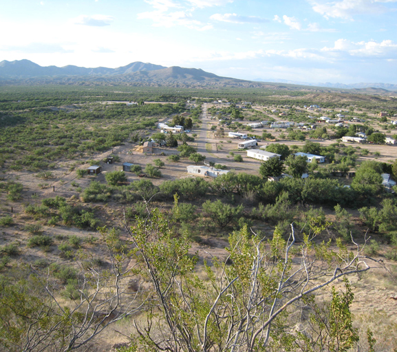
Project Highlight: Richland Ranchettes Floodplain Study
Location
Cochise County, Arizona
Client
Cochise County Highway & Floodplain
Project Leads
John Wallace, FLO-2D Modeling & Floodplain Mapping
Jon Fuller, Alluvial Fan Mapping
Problem
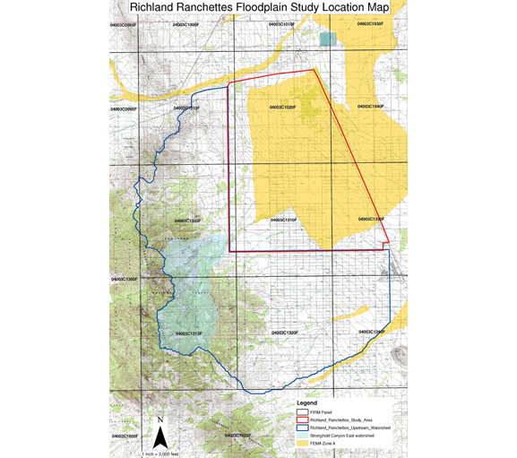
- Existing approximate Zone A FIRM mapping was outdated and inaccurate.
- Lack of detailed floodplain information made permitting in the area difficult.
Approach
- JEF utilized FLO-2D to perform hydrologic modeling of upstream contributing watersheds and hydrologic and hydraulic modeling of flow in the study area.
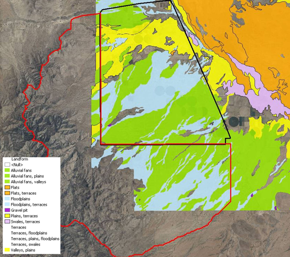
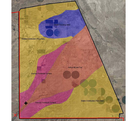
- JEF also utilized the FEMA three-stage approach to alluvial fan identification and mapping for the Cochise Stronghold Canyon Wash.
Solution
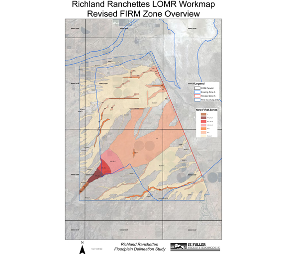
- JEF prepared revised FIRM mapping with Zones A, AO2, AO1 and Shaded X zones for the Richland Ranchettes study area.
- The revised FIRM mapping included AO mapping with velocities for the Cochise Stronghold Canyon alluvial fan.
- The revised mapping was approved by FEMA on January 17, 2011
