Project Highlight: YCFCD Historical Photography Collection
Location
Yavapai County, AZ
Client
Yavapai County Flood Control District
Project Leads
Mike Kellogg
Problem
- Yavapai County Flood Control District desired to obtain rectified historical aerial photography for use by the following county agencies: Flood Control District, Public Works, Land Use Zoning Enforcement, and Planning.
- Prior to the project, Yavapai County’s aerial photograph library only extended back to the year 2000.
Approach
- Research potential sources of historical aerial photography covering Yavapai County.
- Collect historical aerial photography from discovered sources.
Solution
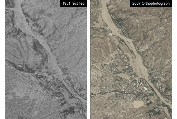
- Semi-rectify collected historical aerial photography using Geographic Information System (GIS) software tools.
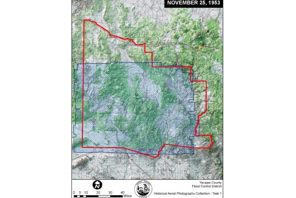
- Over 2,000 aerial photographs covering Yavapai County were rectified.
- Photographs from the following years were collected and rectified: 1943, 1944, 1948, 1951, 1953, 1954, 1956, 1958, 1959, 1962, 1965, 1966, 1968, 1970, 1971, 1972, 1973, 1974, 1978, 1980, 1981, 1985, and 1994.

