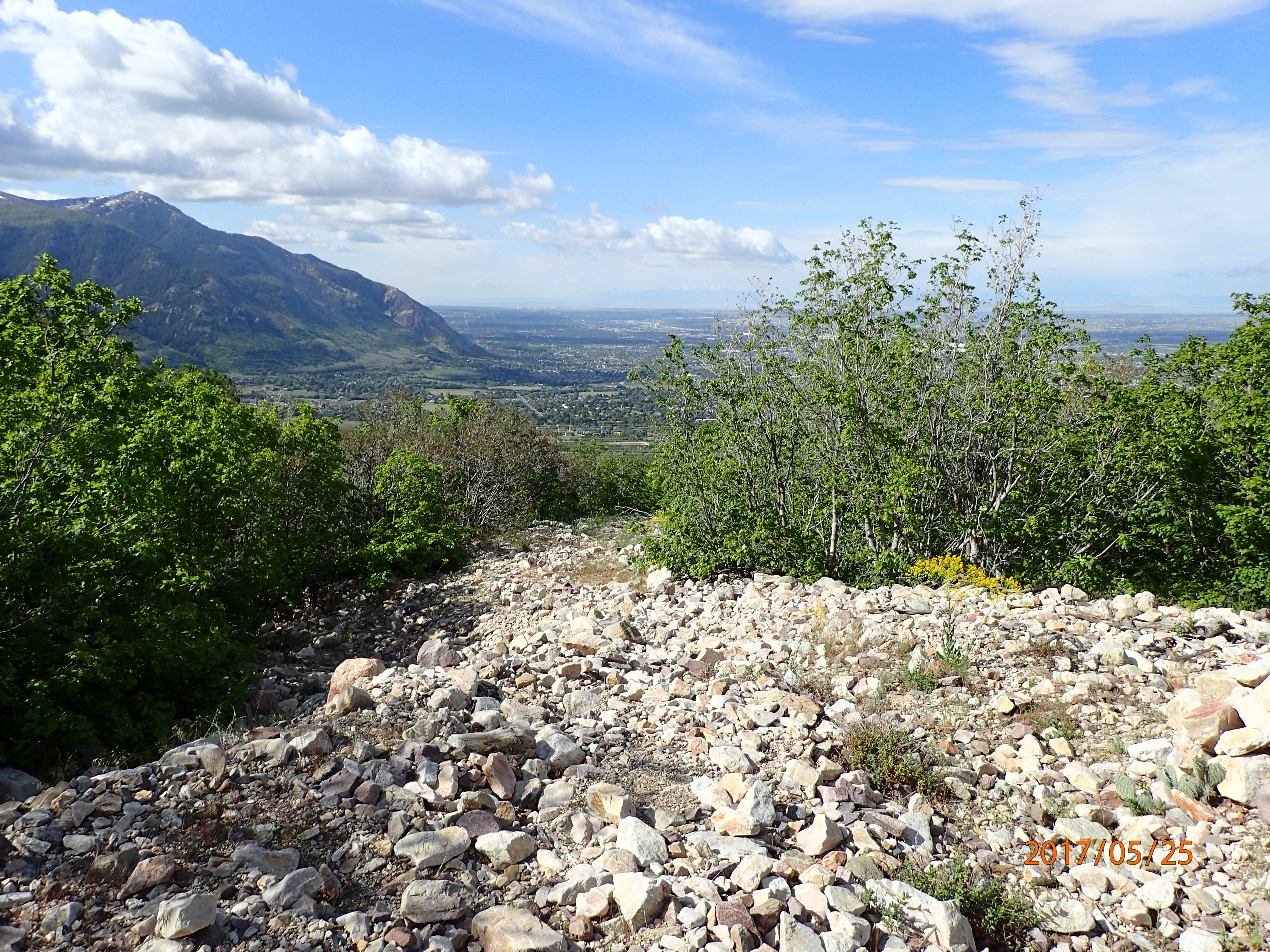
Problem
- Alluvial fan landforms pose a unique flooding hazard that is not found on non-fan landforms
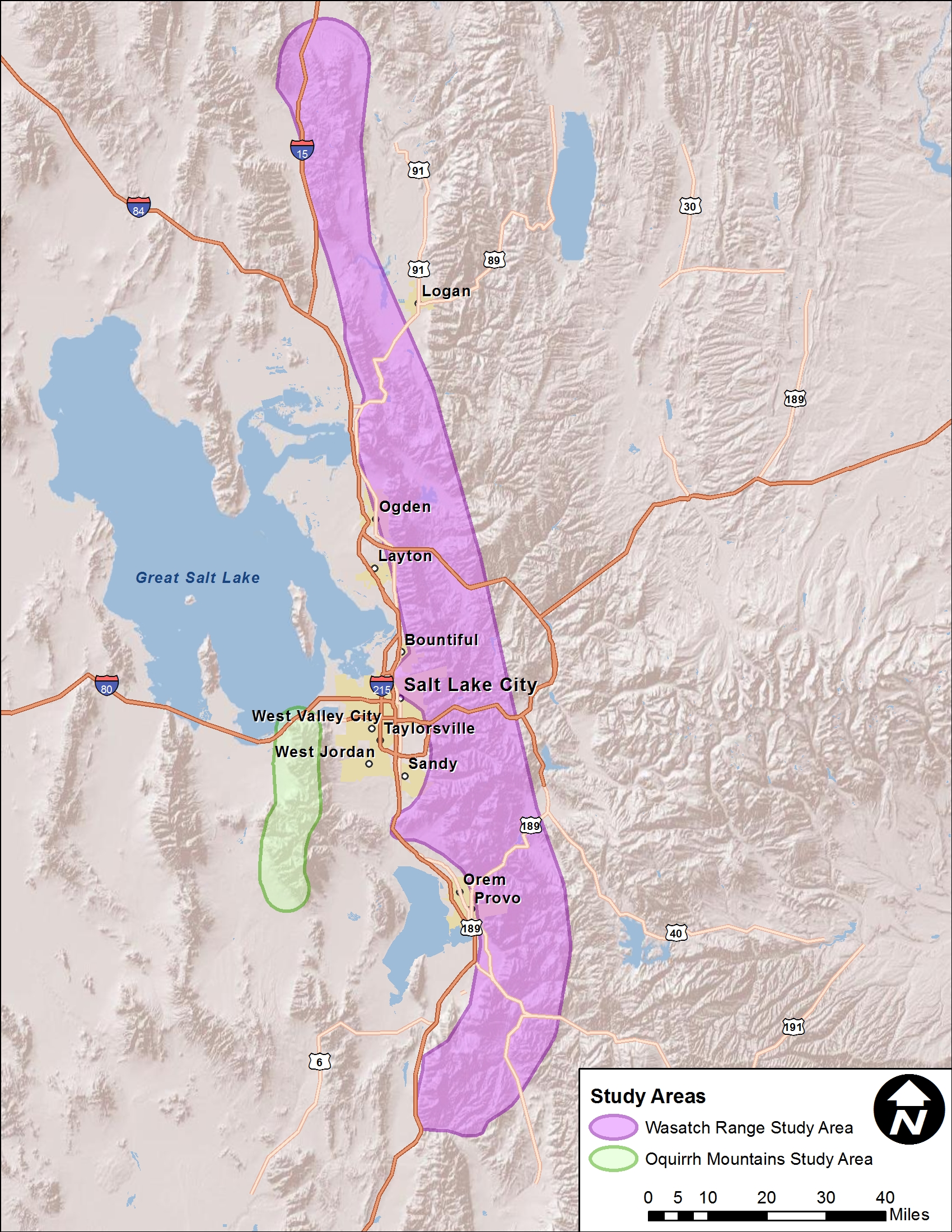
- Identify alluvial fan landforms along the Wasatch Range and Oquirrh Mountains
Approach
- Collection of large data sets including geologic mapping, topographic mapping, historical aerial photography, FEMA SFHA mapping, flood hazard mapping, and landslide/debris flow mapping
- Identify alluvial fan landforms from the collected data
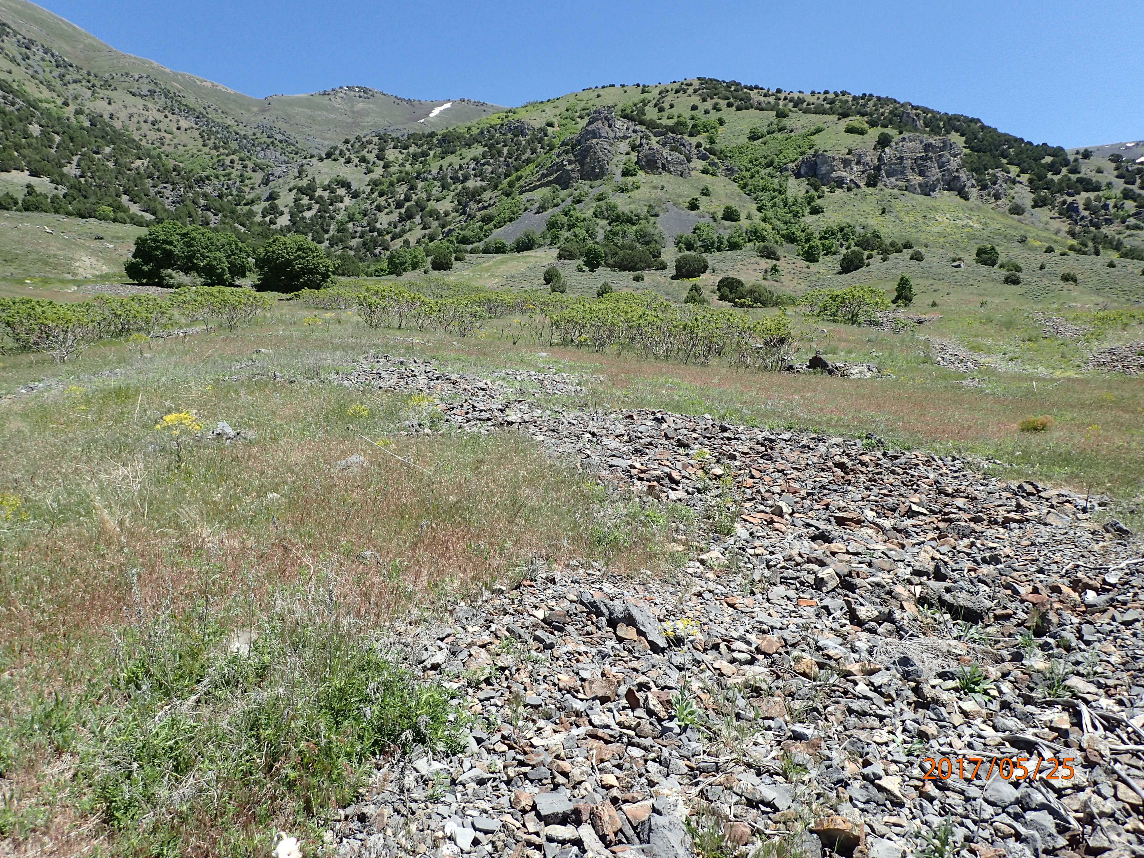
- Field investigate selected landforms
Solution
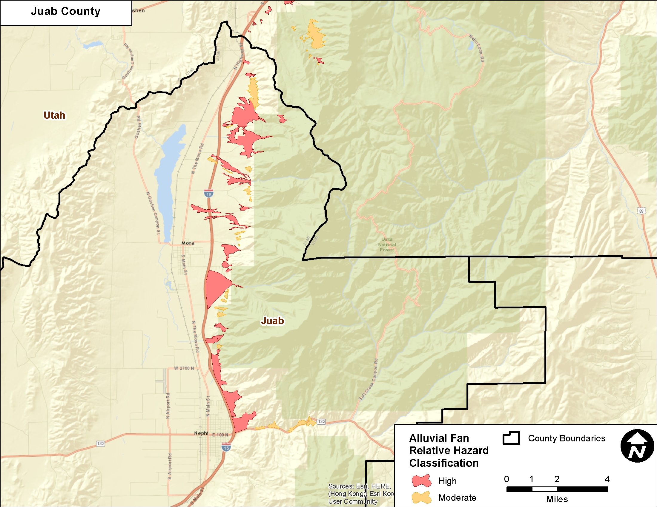
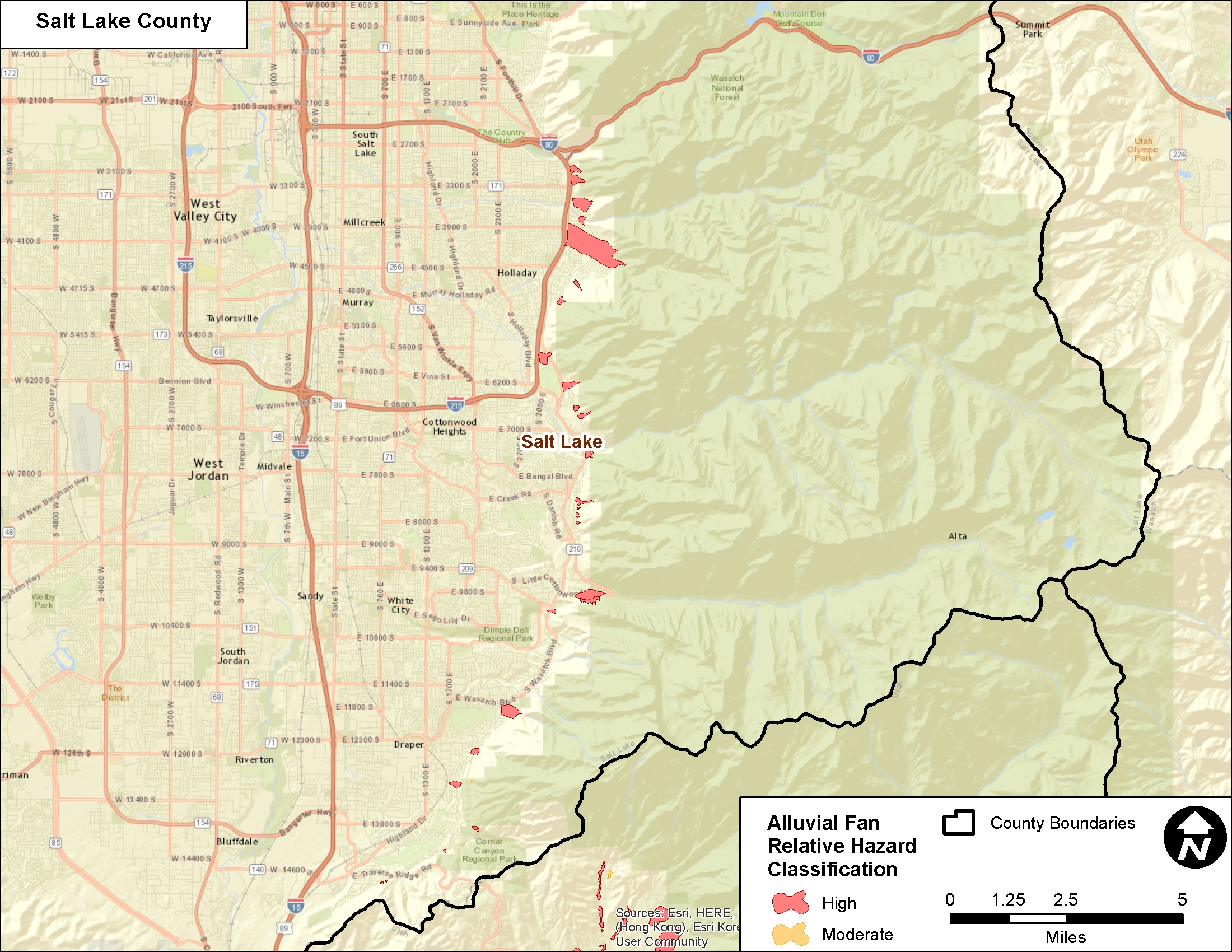
- The study resulted in the identification of nearly 400 alluvial fan landforms
- 254 classified as High Hazard, and 144 classified as Moderate Hazard
- GIS dataset was created for use by state, county, and local agencies when evaluating flooding hazards in their jurisdictions, or when creating/revision FEMA SFHA mapping
Location
Box Elder, Cache, Davis, Juab, Salt Lake, Tooele, Utah, and Weber Counties, Utah
Client
Utah Department of Public Safety
Project Leads
Mike Kellogg
