Problem
- The Arizona Game and Fish Department (AZGFD) owns and operates 37 dams across the state of Arizona. Many of these dams are in remote locations. Ten of these dams fall into either the “high” or “significant” hazard dam classification.
- Real-time precipitation and lake level data are needed at the high and significant hazard dams so that potentially hazardous hydro-meteorological conditions can be identified as they unfold.
- No AZGFD lakes have long term data records.
Approach
- JEF worked with the AZGFD to first develop a formal Operations and Maintenance Management Plan for each dam owned and operated by the department.
- JEF performed a complete dam inspection for all AZGFD dams. Along with the dam safety inspections, JEF performed biological survey’s of each dam and radio telemetry testing at the 10 high and significant hazard dams. This work included initial reconnaissance work for the purpose of designing the department’s Lakes ALERT system.
Solution
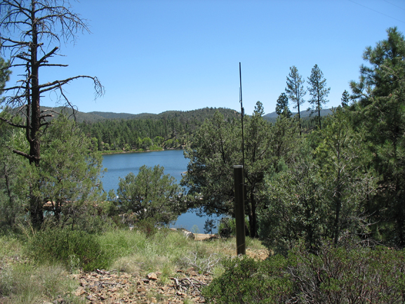
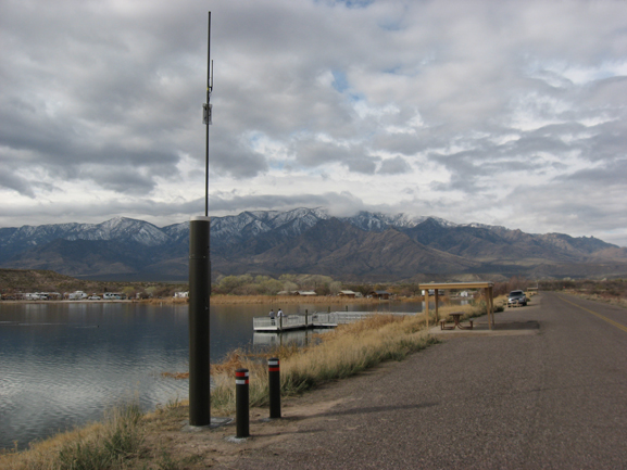
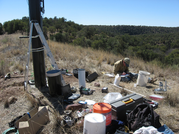
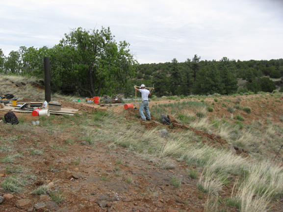
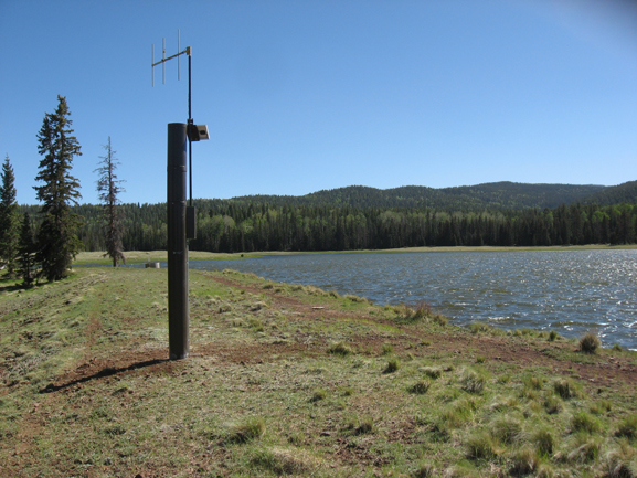
- JEF designed and specified the AZGFD Lakes ALERT system, a real-time, radio telemetry data collection system that measures precipitation and lake level at 10 of the department’s high and significant hazard dams.
- The data are received at a central base station that JEF designed and installed at the department’s central administration building north of Phoenix, Arizona.
- The system is capable of automatically notifying department personnel of rapidly changing conditions at remote lakes using radio telemetry that has been integrated into the Arizona Statewide Flood Warning System repeater backbone.
Location
Arizona
Client
Arizona Game & Fish Department
Project Leads
Brian Iserman
Cory Helton
